 |
Photo of the Week
November 22, 2015
|
|
Hi Bill, Here
is a picture of the only land link that is keeping Gatun from becoming
an island. It is also the
temporary road for the return from the west bank or Gatun Locks.
Getting to west bank or Gatun Locks is over the lock gate like I
sent last week and the single lane bridge at Gatun Locks.
Only one ferry (only weekends) is running right now and the new
bridge won't be ready till some time in 2017.
It is strange having no
land link north of the new locks. In
May when I was there, the old road was still there and in use.
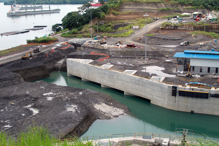
There are a couple of contract dredges working at deepening the
Atlantic approach channel with the new Agua Clara Locks. First picture.
Note the floating spare gates in Gatun Lake. Not
sure when the rest of the dike separating Agua Clara Locks and the lake.
Probably not before the get both ferries up and running full
time. The pipes that they
used to flood the locks is where the gap in the roadway is near the
orange fencing. Check out
the massive intakes and the rubber tires at the knuckle. Second picture is
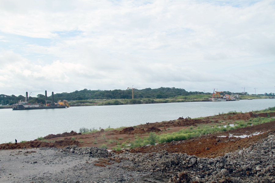
where the road used to be to get to Gatun Locks.
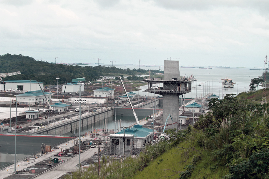
Dredges are working to deepen the channel. Third picture is
looking from the viewer stand for the new locks.
The tall structure under construction is the control house.
The lower gate is the one that is used to cross to Gatun.
You can see the dredges at work in the approach channel.
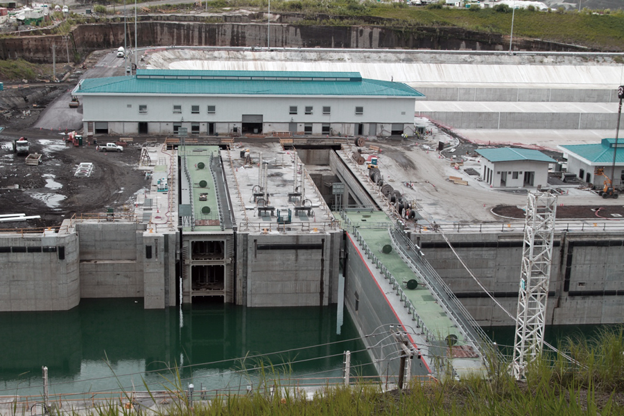
The blue roof buildings control the various aspects of the
operation or maintenance of the new locks.
Fourth picture
shows the new massive gates in place.
The water saving basins are to the rear of the blue building. Thank you for sending in these great photos Bill.
|
 |
 |
 |
Home|
Photo
of the Week | Photo
Archives | Main
Show Room | Photo
Room | Military
History
PC History
| Gift
Shop | Links
