 |
|
|
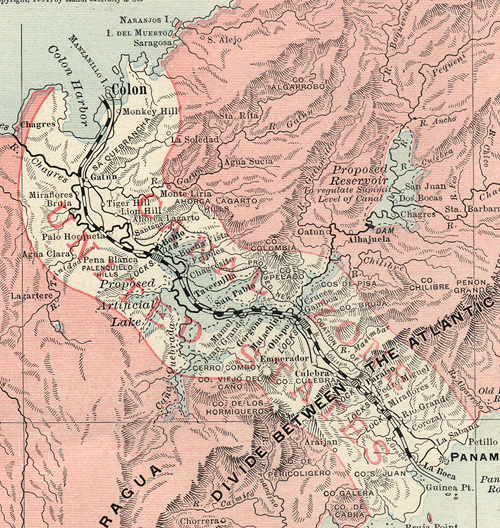
This great old map shows both original and the proposed relocation rail lines prior to lake flooding. At the time of this map, the relocated line was proposed to run along the side of the Canal in the Culebra Cut area. This was later changed when engineers found out how unstable the area was with slides. The relocated rail line was then moved behind Summit and Gold Hill areas. |
